
Historical Maps of the Roman Empire
- by Bek Cruddace
- in Illustrated Maps Publishing
- posted December 14, 2022
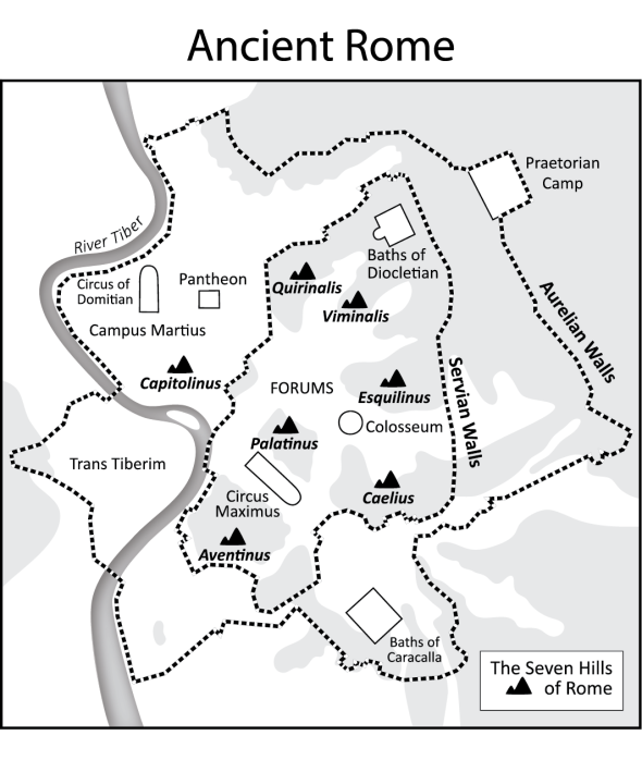
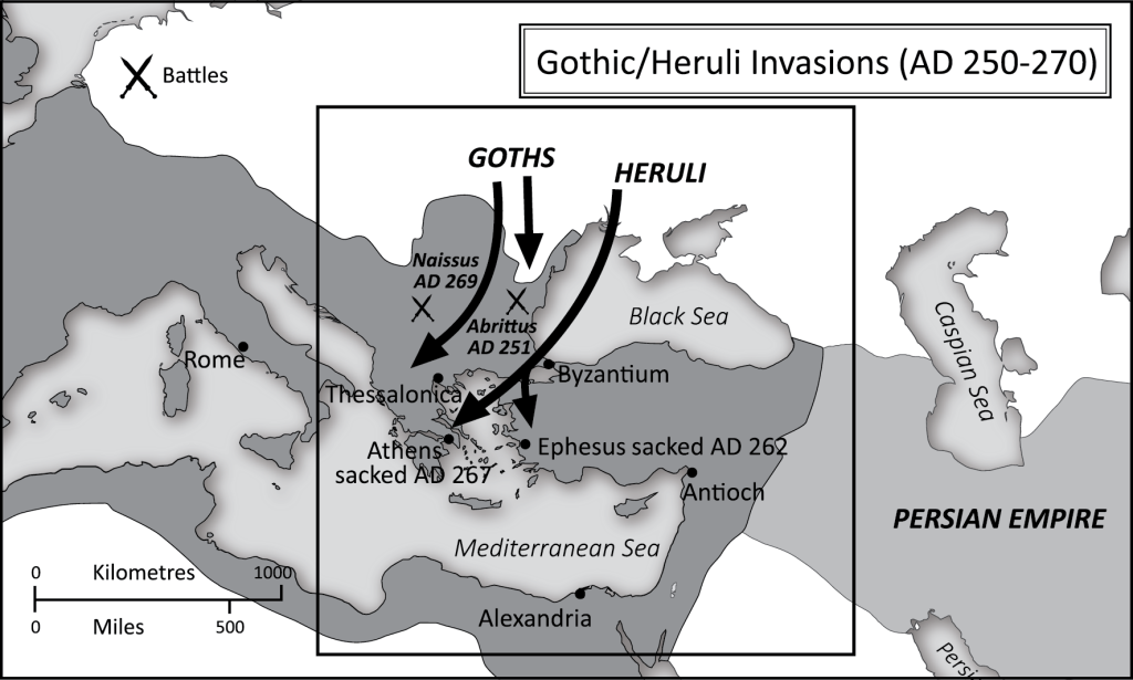
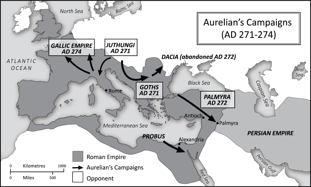
A few months ago, I had the pleasure of illustrating a set of 10 black and white historical maps for a book on the Roman Empire by Nick Holmes. Most of the maps feature the territorial expansion of the Roman Empire followed by its gradual geographic break up but I also illustrated a couple of city maps showing the ancient cites of Rome and Constantinople.
The project was lovely to work on as I don’t often get the opportunity to illustrate historical maps.
The finished book is available to buy on Amazon as both a paperback and as an ebook and is well worth a look if you are interested in ancient Roman history: