
Illustrated Map of Bristol
- by Bek Cruddace
- in Illustrated Maps Retail
- posted January 16, 2026
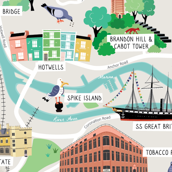
This illustrated map of Bristol was designed as a family gift and for retail.
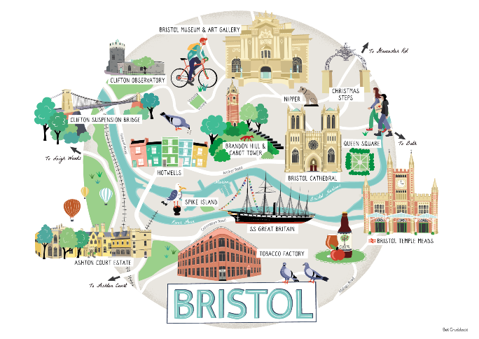
The detailed illustration shows some of the interesting places in and around Bristol city centre including SS Great Britain, the colourful streets of Hotwells, Ashton Court Estate as well as the Clifton Suspension Bridge and Bristol Cathedral.
The map can be bought as an A5 postcard and an A4 print from my Etsy shop.
Other personal projects include my UK map, Illustrated London, and Rye map.