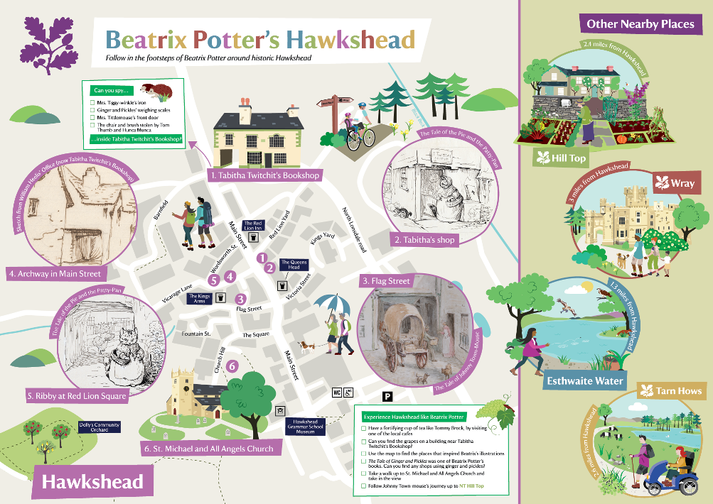
Beatrix Potters Hawkshead map
Client: National Trust Hill Top and Hawkshead
National Trust Hill Top and Hawkshead commissioned me to design a folding Beatrix Potters Hawkshead map and information leaflet. The brief was that the folding map should be B2 in size and showcase Hawkshead as well as other nearby places managed by the National Trust.
The finished map is useful for visitors to Hawkshead and also highlights the strong links the village has with Beatrix Potter. It also includes an i-spy for children to enjoy as they walk around Hawkshead.
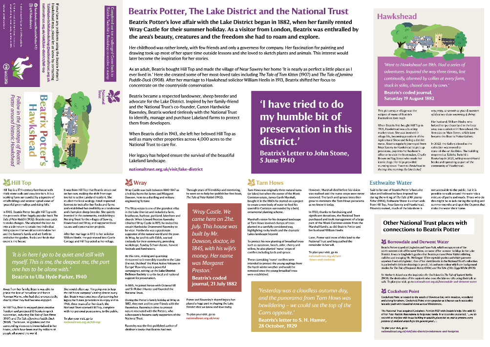
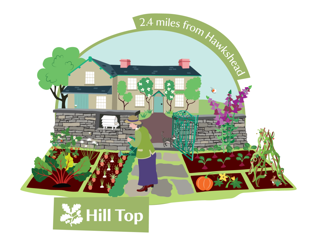
On the flip side of the map there is more information about Hawkshead and the other nearby National Trust places. I colour coded each individual place to bring the text alive and make each separate place distinct.
Copies of the Beatrix Potters’ Hawkshead map can be found at Tabitha Twitchit’s Bookshop in Hawkshead. In January 2026 the Beatrix Potter Society published a lovely feature about me and the Beatrix Potters Hawkshead map as part of their Inspired by Beatrix blog series.
I know the area well so this was a lovely project to be involved in. I also have fond memories of reading Beatrix Potter as a child and then reading them to my own children.
Some other maps I’ve designed for the National Trust include NT Manchester, NT Waddesdon and NT Bathampton.