Ridgeway Visitor Map
Client: National Trails Office
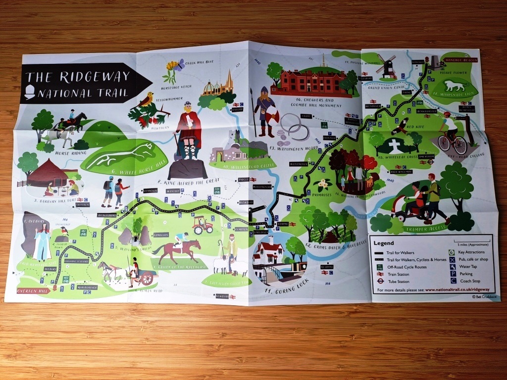
National Trails Office commissioned me to design a Ridgeway visitor map to commemorate 50 years of the Ridgeway trail.
The brief for the map was that it should
- showcase the human and natural history of The Ridgeway National Trail
- show the surrounding features, transport links and places to eat and drink.
- Appropriate cycle routes should also be added.
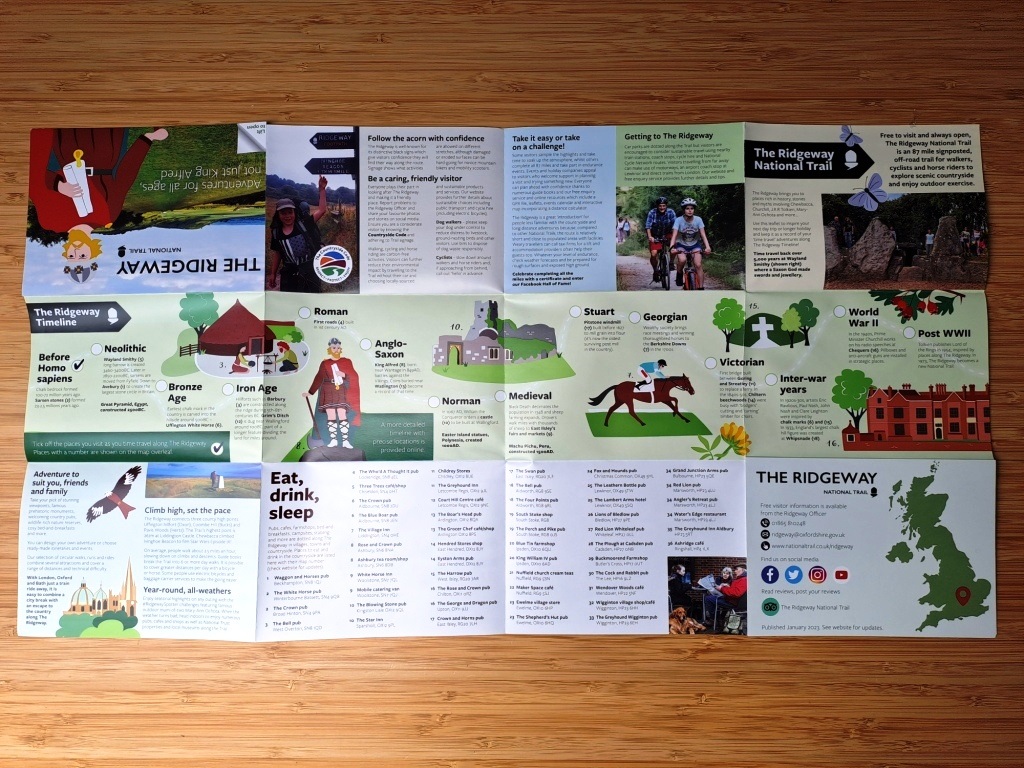
I designed the map to fold, showing the Ridgeway visitor map on one side and information about the trail on the other. The map highlights historical and cultural features along the route. It also shows the locations of railway stations, parking, water taps and pubs and cafes.
It is available for free in local outlets around the Ridgeway National Trail and is also sold to support maintenance of The Ridgeway through the National Trails website.
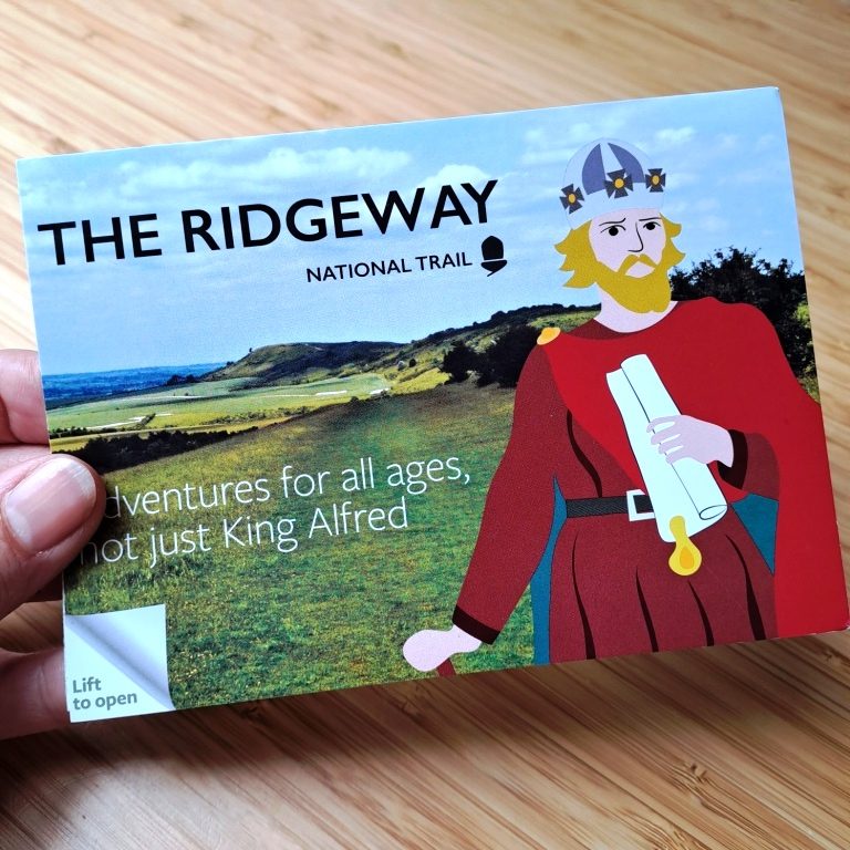
The illustrated Ridgeway map is also available to buy as a postcard from my Etsy shop.