
Fish Migration Map
Client: Thames Estuary Partnership
Thames Estuary Partnership (TEP) commissioned me to design a fish migration map of the Thames region. this project was part of TEPs Roadmap Project with Nature at Work. TEP are based in London who work to preserve the River Thames and make it more healthy, sustainable and resilient.
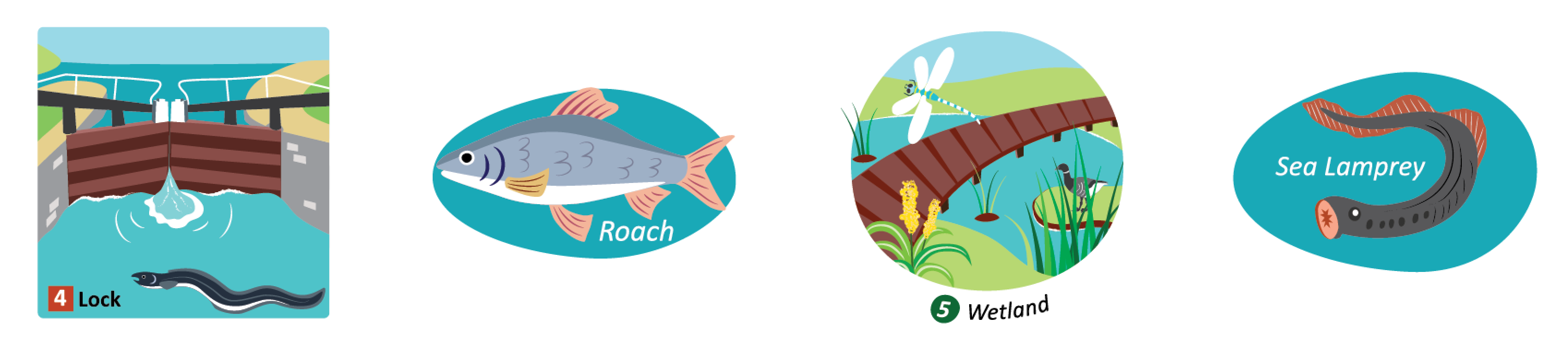
The map purpose is to tell the wider story of fish migration in relation to river and habitat connectivity. To the educate both the general public and for educational use. The fish migration map shows migratory barriers on the River Thames and in the wider Thames region. It shows the river network connectivity and thus the ability of fish, like the European eel, to migrate upstream.
The map also shows common barriers to migration as well as fish and aquatic habitats in relation to human development. The individual fish and barrier and habitat illustrations were also designed to be used as standalone spot illustrations.
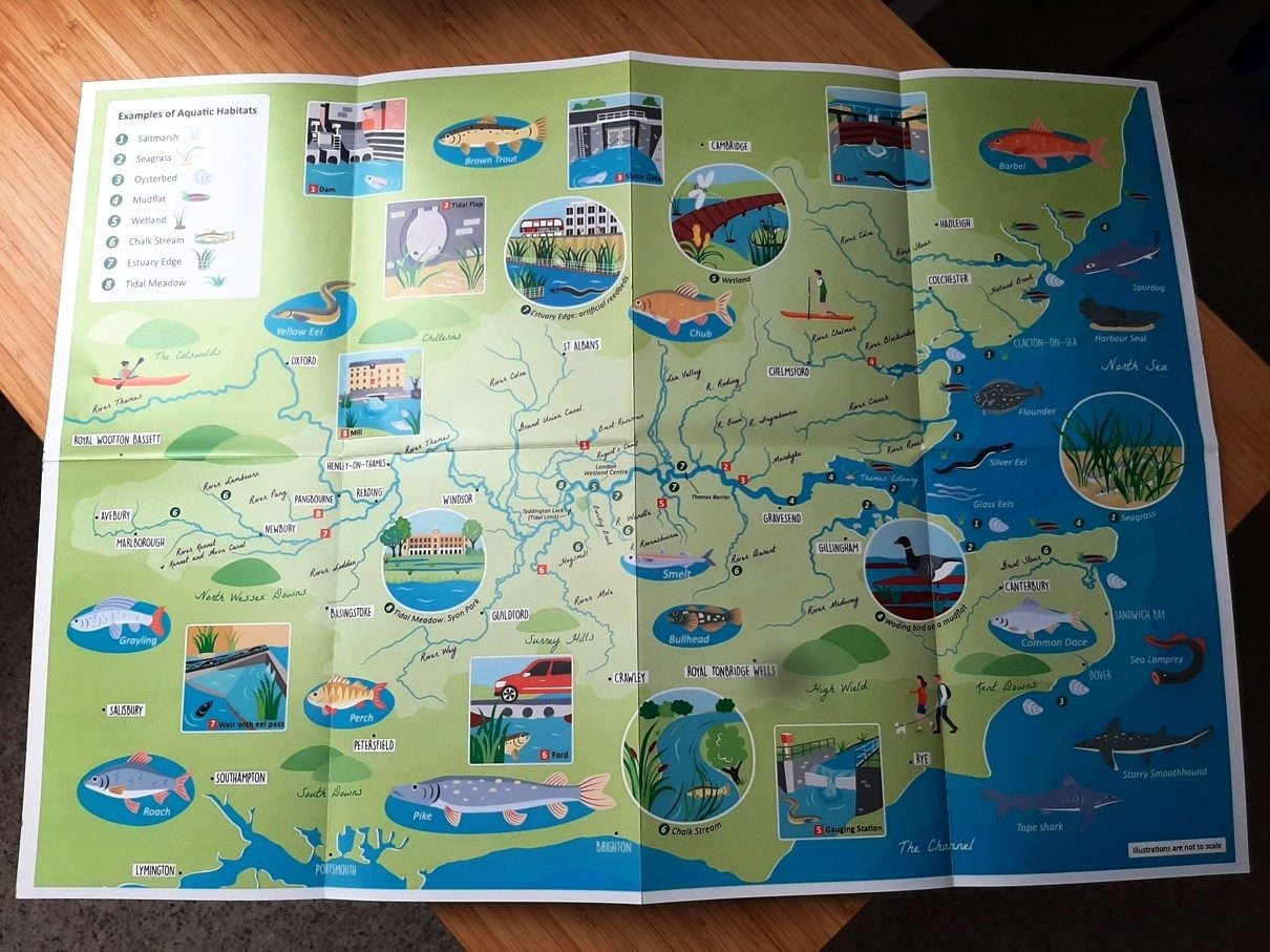
The map is used online, as a free educational hand out and in an A2 folding educational information leaflet.
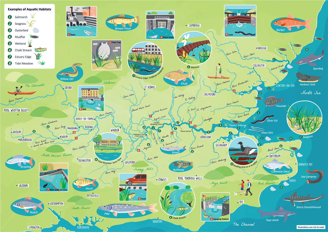
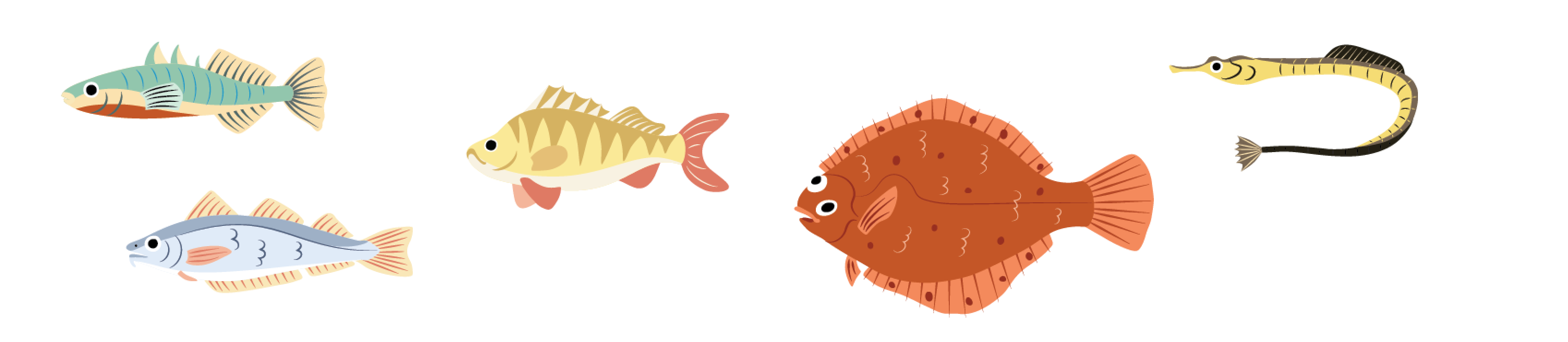
The original project was also extended to include 17 further UK native fish species illustrations to be used online and in print.
It was a pleasure to work on this project. Not only do I feel it is an important subject area that more people should be made aware of but I also learnt a lot about fish migration and the barriers faced by different species.